Babusar Top, at about 4,170 m, is the highest point on the road connecting the Kaghan Valley with Chilas on the Karakoram Highway. It is the scenic summer route to Gilgit-Baltistan — and one of Pakistan’s most memorable drives.
In this guide
When does Babusar open?
The pass usually opens around June after snow clearance and stays open until autumn snowfall, often in October. Landslides and bad weather can close it at short notice, and exact dates change each year. We confirm the status before planning.
Route and timings
| Leg | Approx. time |
|---|---|
| Naran → Batakundi | About 45 minutes |
| Batakundi → Lulusar Lake | About 45 minutes |
| Lulusar → Babusar Top | About 1 hour |
| Babusar Top → Chilas | About 2 hours (steep, winding descent) |
Total Naran to Chilas is typically 4–5 hours with stops.
What to see on the way
- Batakundi and Besal — high-altitude villages and starting points for treks.
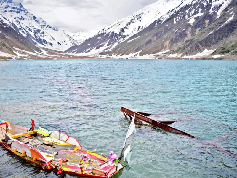
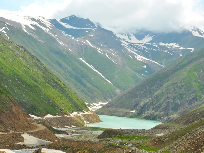
- Lulusar Lake — a long, dark-blue lake beside the road, the source of the Kunhar River.
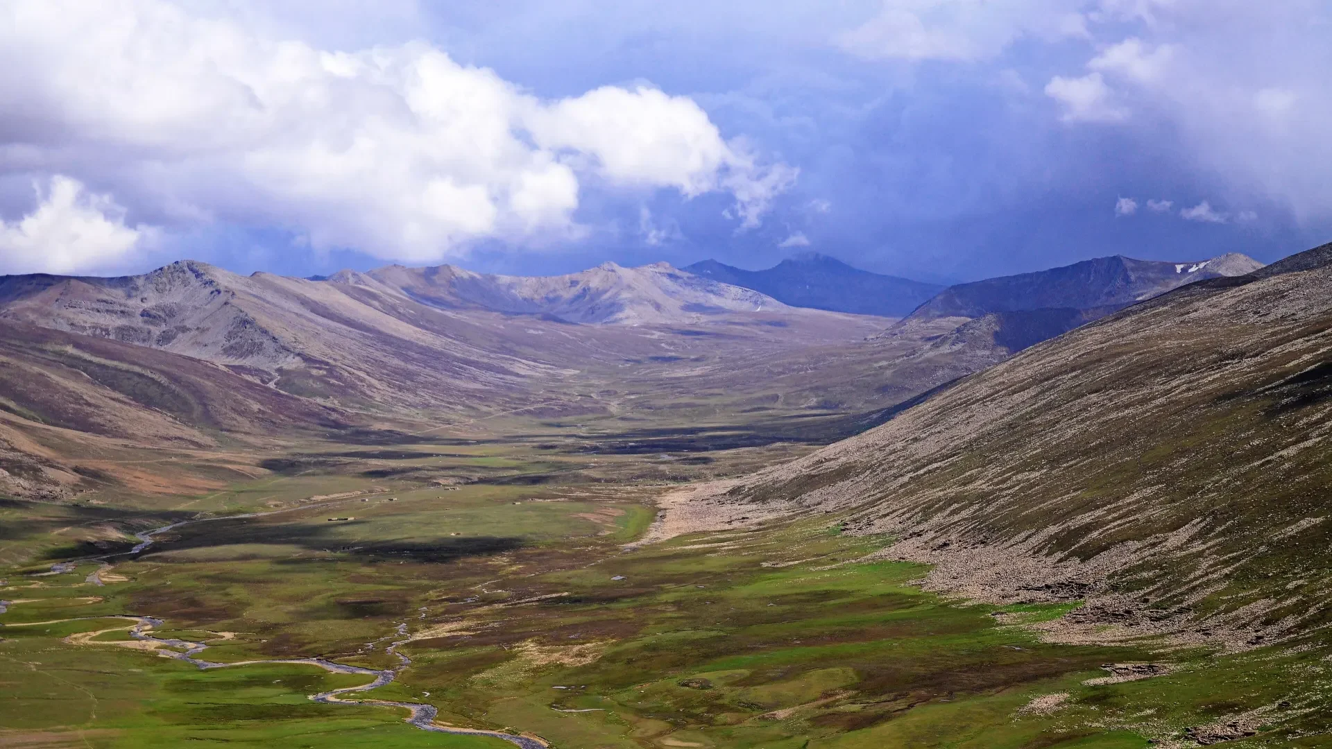
- Gittidas and the meadows below the top — lush green pastures in summer.
- The summit — a rocky pass with wide views on a clear day.
Safety and driving
- The road to Chilas is steep, narrow and has sharp switchbacks. Use an experienced local driver.
- Avoid it in rain or poor visibility.
- Carry warm clothes — it is cold even in July.
- Fill your fuel tank in Naran and keep water and snacks handy.
- Altitude may cause headaches; see our altitude guide.
Is it worth it?
Yes, if the weather and dates allow. It saves nothing in time compared with the KKH route via Besham, but the scenery is far better. See Islamabad to Hunza options and the KKH guide.
Back in the valley, explore Lake Saiful Muluk and the wider Naran & Kaghan guide.
Which direction should you drive?
Most people go from Naran up to Babusar and down to Chilas on their way to Hunza or Skardu. The climb on the Naran side is steady, while the descent to Chilas is steeper with sharp switchbacks. If you or your driver prefer to tackle the steeper section uphill, consider the reverse route. Always follow your driver’s advice.
Packing for the pass
- Warm jacket, hat and gloves — temperatures can be near freezing in summer.
- Sunscreen and sunglasses.
- Water, snacks and a flask of tea.
- Motion-sickness remedies for the winding roads.
When not to go
Avoid the pass in heavy rain, fog or after recent landslides. If the road status is uncertain, use the Besham route via the Karakoram Highway instead.
Frequently asked questions
Is Babusar Top open in May?
Usually not. It typically opens around June.
How high is Babusar Top?
About 4,170 m above sea level.
Is the road to Chilas dangerous?
It is steep and narrow with sharp turns. Use an experienced driver and avoid bad weather.
Can I drive Babusar myself?
It is possible but demanding; the descent is steep and narrow. A local driver is advisable.
Is there food at Babusar Top?
Usually only basic tea stalls. Carry your own snacks.