The Karakoram Highway (N-35) climbs from the plains near Islamabad to the Khunjerab Pass on the China border. Every road trip to Hunza, Fairy Meadows, Astore and Skardu uses some part of it. Knowing how the road works makes the journey safer, calmer and far more enjoyable.
In this guide
Two ways north from Islamabad
| Via Besham (KKH all the way) | Via Naran and Babusar Top | |
|---|---|---|
| Open | All year | Usually around June to October |
| Route | Hazara Motorway → Thakot → Besham → Dasu → Chilas | Hazara Motorway → Balakot → Naran → Babusar Top → Chilas |
| Scenery | Deep Indus gorge | Kaghan Valley, Lulusar Lake, high pass |
| Good overnight | Besham or Chilas | Naran or Chilas |
Both routes meet at Chilas, after which the KKH continues to Raikot Bridge (for Fairy Meadows), the Astore turn-off, Jaglot (for the Skardu Road), Gilgit and Hunza.
Highlights along the way
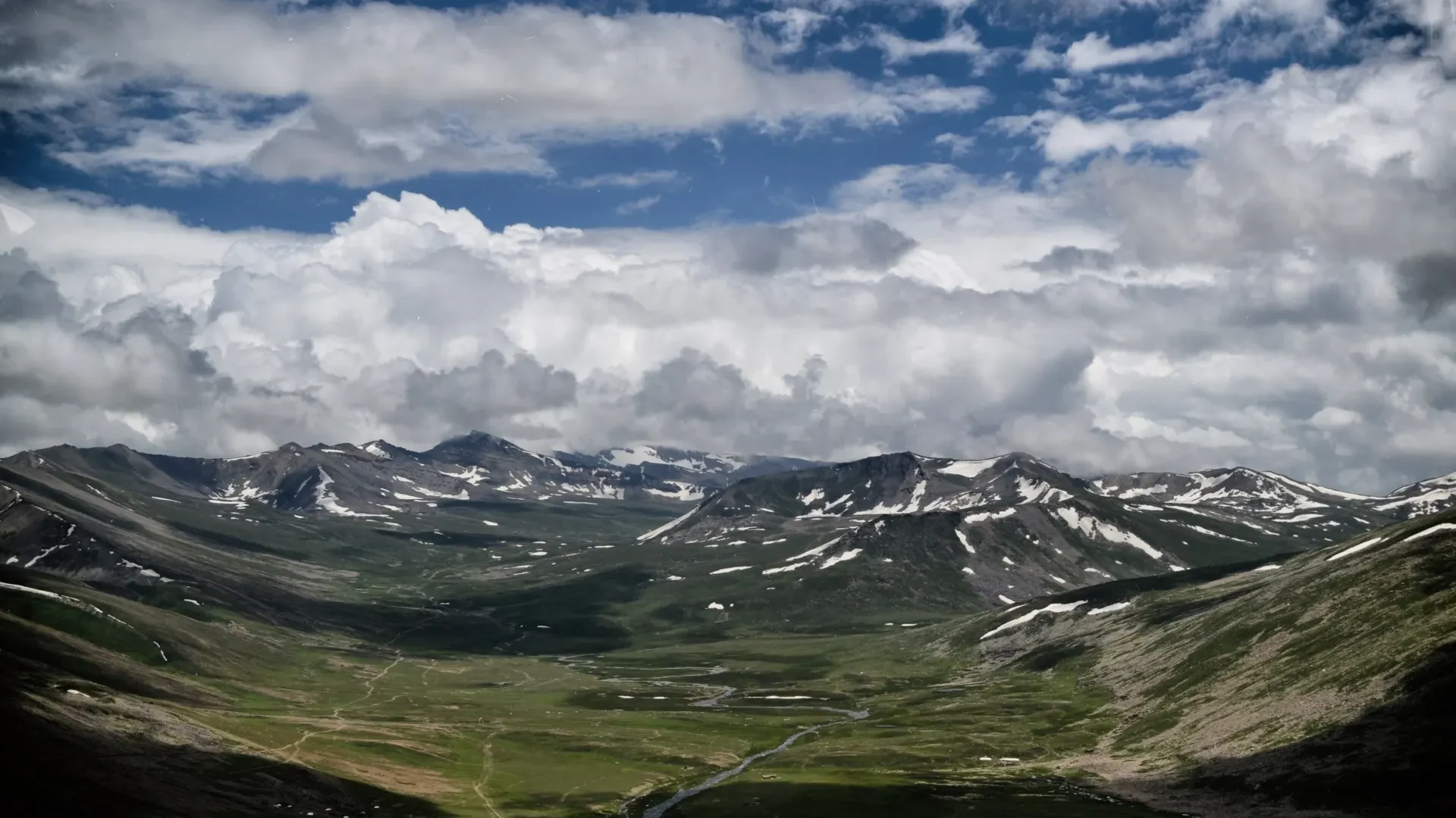
- Babusar Top (summer route) — high meadows and wide views.
- Chilas rock carvings — ancient petroglyphs beside the highway.
- Nanga Parbat viewpoint near Raikot — the world’s ninth-highest mountain.
- The junction of three ranges near Jaglot — where the Himalaya, Karakoram and Hindu Kush meet.
- Rakaposhi viewpoint at Ghulmet — tea beneath a 7,788 m peak.
- Attabad Lake and tunnels — the turquoise lake created by the 2010 landslide.
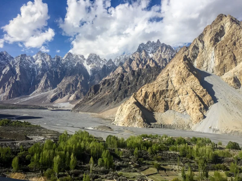
- Passu Cones and Hussaini.
- Khunjerab Pass (4,693 m) — the border, open seasonally.
Typical driving times
| Leg | Approximate time |
|---|---|
| Islamabad → Besham | 6–8 hours |
| Islamabad → Naran | 6–7 hours |
| Besham → Chilas | 4–6 hours |
| Naran → Chilas (via Babusar) | 4–5 hours |
| Chilas → Karimabad (Hunza) | 5–6 hours |
| Chilas → Raikot Bridge | About 1.5 hours |
| Jaglot → Skardu | 5–6 hours |
These are typical for a private vehicle in good conditions. Stops, traffic and road works add time.
Landslides and road closures
The KKH runs through some of the most geologically active mountains on earth. Landslides are most common in spring (snowmelt) and the monsoon (July–August), and can block the road for a few hours — occasionally longer.
- Build a buffer day into trips of a week or more.
- Travel in daylight wherever possible.
- Keep water, snacks and warm layers in the vehicle.
- Check road status with your driver or operator before each leg; we monitor conditions daily during trips.
- Don’t stop under unstable slopes for photos.
Practical tips
- Fuel: available in towns, but fill up when you can.
- Checkpoints: carry your CNIC or passport; foreign visitors may be asked to register.
- Signal: patchy in the Indus gorge; download maps offline.
- Heat: Chilas and the gorge can be very hot in summer — travel early and choose hotels with air-conditioning.
- Driving yourself? The road demands experience with mountain driving, heavy trucks and narrow sections. Many travellers prefer an experienced local driver.
Where the KKH can take you
- Fairy Meadows — from Raikot Bridge
- Astore Valley — turn off before Jaglot
- Skardu — via the Skardu Road from Jaglot
- Hunza and Khunjerab — the northern end
See a full road trip plan in our 5-day Hunza itinerary.
Frequently asked questions
Is the Karakoram Highway open all year?
The main highway is open year-round, though landslides and snow cause temporary closures. Khunjerab Pass and the Babusar route are seasonal.
How long does it take to drive the KKH from Islamabad to Hunza?
Usually 14–18 hours of driving, best split over two days with a night in Besham or Chilas.
Is it safe to drive the Karakoram Highway?
Thousands of travellers drive it every season. The main risks are natural — landslides and weather — so travel in daylight, keep a buffer day and use an experienced driver.